A disaster, whether it is man-made or natural, can cause destruction, loss of life, physical damage, or lead to drastic changes in the environment. Drones or unmanned craft play a vital role in disaster management, as they can be remotely managed and reach hard-to-reach areas.
Moreover, various cameras and sensors equipped with drones, which gather real-time data in case of disasters, aid in disaster management. Using drones in disaster-stricken areas can provide real-time data, facilitating situational awareness. In addition, it's equipped with advanced thermal cameras that aid in search and rescue operations, damage assessment, environmental monitoring, and payload delivery.
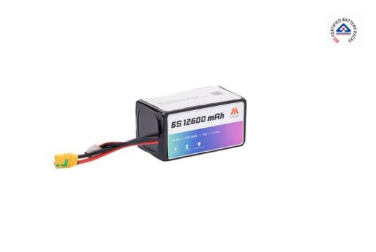
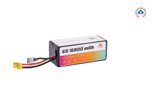
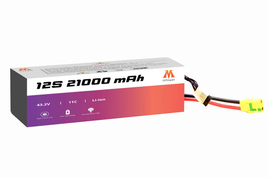
Drones can be one of the crucial parts of disaster management, providing a technological edge in disaster management. However, drones require a lithium ion drone battery to access hard-to-reach locations. In this blog, we will explore the application and use case for improved drone response.
Applications of Drones in Disaster Management
Earthquakes
It is a natural disaster that can occur without pre-sign, leaving people shocked and causing physical damage. Due to this, the structural integrity of buildings and infrastructure is often reduced. This increases the chance of untoward, as buildings can fall, trapping the people in debris.
This requires rapid mapping, not just assessing the damage but starting a rescue operation. Drones with high-resolution cameras and LiDAR technology can quickly survey large areas, providing detailed imagery for damage assessment. This aerial surveillance helps emergency responders prioritize areas that require immediate attention.
Moreover, drones equipped with thermal imaging cameras assist search and rescue teams in identifying heat signatures, potentially indicating survivors beneath the rubble.
Floods
Since it is a slowly developing disaster, authorities have enough time and information to act on this. However, it can be challenging for authorities to assess the situation after floods, as floods can cover an extensive area quickly.
Drones provide real-time aerial footage, allowing authorities to perform pre-disaster activity, identify at-risk areas, and plan evacuation routes efficiently. In flood-affected regions where convectional transportation is hindered, drones offer a lifeline by delivering essential supplies. Medical aid, food, and communication devices can be transported swiftly to those stranded or isolated, mitigating the impact of the disaster.
Forest Fires
Drones with sensors and infrared cameras are among disasters' most developed and practical activities. This contributes to the early detection of forest fires by identifying the hot spot detection.
Since drones can cover vast areas, they can detect smoke or heat sources and provide real-time information, enabling rapid response teams to intervene before the fire escalates.
During firefighting operations, drones fly in the pre-programmed path and provide real-time information to staff in the control room. This provides crucial aerial perspectives to firefighting teams and aids in tracking the fire's movement. Staff can assess its behavior and devise effective strategies for containment and extinguishment.
Search and Rescue Operations
Drones can be deployed rapidly in emergencies, where people might face challenges reaching them. This provides immediate situational awareness by covering a large area. Moreover, it can identify the missing person or assess the damage in a disaster-stricken area.
A drone with advanced cameras and sensors can operate effectively in adverse conditions. Whether in low-light scenarios or dense vegetation, drones enhance visibility and assist search and rescue teams in identifying hazards, survivors, or areas needing attention.
Payload Delivery
Drones facilitate the rapid delivery of emergency supplies to areas inaccessible by traditional means. This capability is particularly crucial in the early stages of disaster response, ensuring critical resources reach affected communities swiftly, potentially saving lives.
Environmental Monitoring
Drones also aid in environmental monitoring, as they are equipped with sensors that can be beneficial in multiple ways. It can count the number of plants and animals, aiding in wildlife conservation and biodiversity studies. Moreover, it can be invaluable in species identification, water management, and vegetation monitoring. Drone captures real-time data, which contributes to environmental impact assessments.
Mapping and GIS Applications
The new-age drones are equipped with GIS technology, which contributes to creating a detailed map by gathering geographical and spatial data. GIS applications on drones enable emergency response teams to make informed decisions based on accurate spatial data.
Whether planning evacuation routes or coordinating rescue operations, drones equipped with GIS technology enhance the efficiency and effectiveness of disaster response efforts.
How Do Drones Help with Disaster Management?
- Rapid assessment and situational awareness
- Safety and accessibility
- Cost-effective
- Flexibility and versatility
- Real-time communication and coordination
- Search and rescue support
- Damage assessment and infrastructure planning
- Post-disaster monitoring and mapping
- Public awareness and information dissemination
The Bottom Line!
Many authoritarian actions have been taken, but due to the lack of technology, it has been challenging. The advancement in drones led to the most significant contribution to disaster management.
This assesses the disastrous situation quickly and helps take action based on real-time data. For instance, if anyone is trapped in debris, drones can quickly cover a wide range of areas and provide information.
In addition, to operate more efficiently, a drone requires the best drone battery. That's where mPower provides a drone rechargeable battery that ensures the drone works in disaster management more efficiently.


